GETTING THERE AND CURRENT TRAIL STATUS (September 2020) Downloadable current maps are in preparation. The turn off for the reserve from hwy 11 is about 109km West of Thunder Bay. Turn off South for Burchell Lake (hwy 802).
Signage for Greenwood Lake starts (not very conspicuous), after about 5km watch for left turn (South) onto Burchell Lake road (naming is confusing, because the road veers away from the lake and hwy 802). Quality of the gravel road depends on how recently it was graded and how wet the season is. Watch for logging trucks, stop and give wide path to oncoming truck traffic! Map was prepared by Derek Papineau:
Remain on the main gravel road heading South until you reach a “T” intersection with Nelson Lake road (about26km from the highway), head right or West. After about 6km turn left (South), off West Nelson road onto Sag road. After about 6km road turns West again and you will start seeing white pine crowns on the horizon, after a slight incline, you will reach level road at “kilometer 10” sign, amid tall white pines and your goal. There are two parking spots off the Sag road – one at the information kiosk and the other about 60m East, at the beginning of the blue and yellow trails. Parking on the road is possible, but give trucks enough space if there is active logging in the area.
TRAIL CONDITION (Fall 2020 – recent updates further below) All trails in the reserve are best described as “tracks” – do not expect wide, gravel filled pathways! Watch your step as in places there are deep holes between glacial deposit rocks.
Currently, the best and easiest trail is the orange trail on the South side of the Sag road – this starts about 120m East of the information kiosk. The yellow and blue trails start at a small clearing about 60m East of the main information kiosk – the two trails split at about 100m into the forest. The blue trail will get you to Greenwood Lake, but the return loop to the East (on older maps) DOES NOT REALLY EXIST. Neither do the Red trails outside of the reserve, as shown on older maps. The yellow loop trail can be done in either direction (other end of trail reaches Sag road about 800m West of the kiosk) and is currently (Fall 2020) reasonably well flagged with yellow and orange tape, as well as original surviving plastic diamond trail markers.
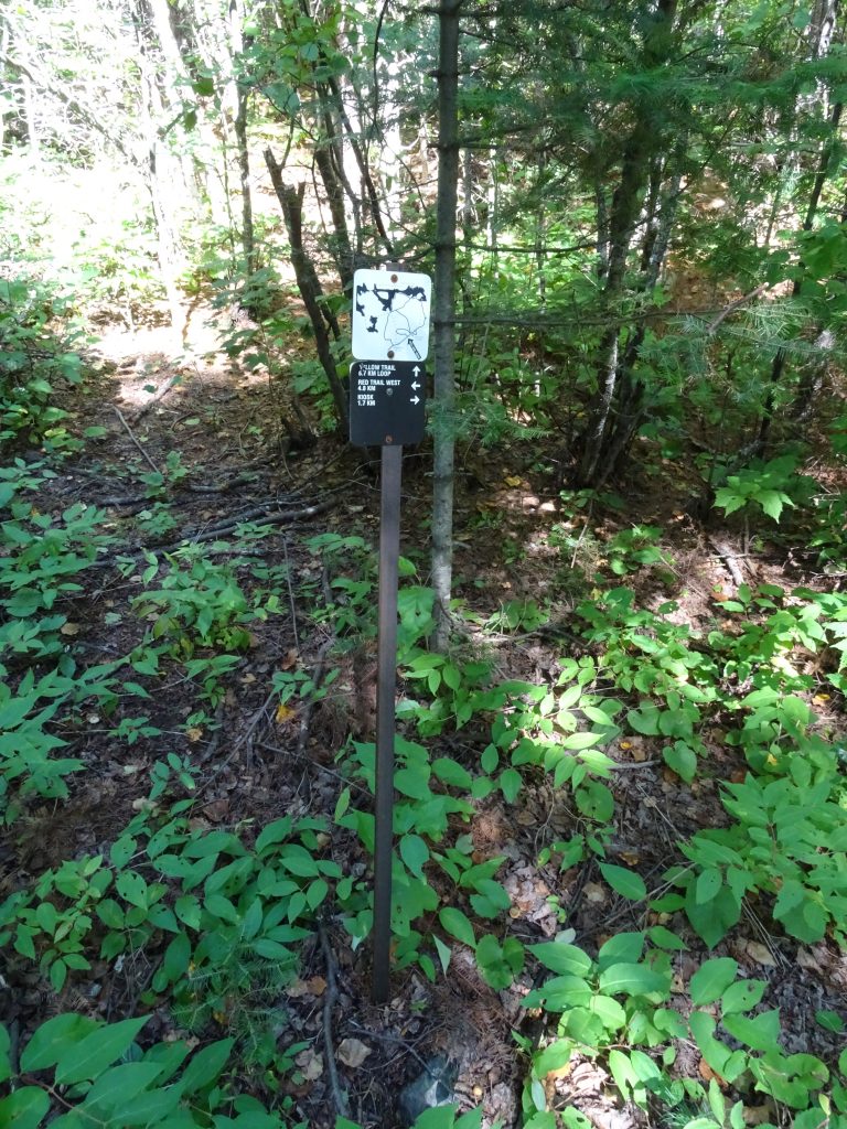
TRAIL MAINTENANCE REQUEST AND CONTACT WITH US: Please, feel free to pull out small seedlings of maples and firs (NOT pines) you find directly on the path. This minimal effort saves having to cut larger trees and branches later…… Also, we (at the herbarium) would appreciate information on any interesting observations you made in the reserve during your visit (better yet, submit these directly to iNaturalist!).
TIMELINE OF ACTIVITIES:
SUMMER 2018 – Reviving interest in the reserve: several visits to the site took place to flag poorly marked sections of the existing trails. TB Field Naturalists re-affirmed their interest in the area. Preparations took place for the September event. Participants were: Gerry Racey, Marek Klich, Derek Papineau, Dan Duckert, Dan Paju, Ray Jones, Tomislav Sapic, Lada Malek. Also a team of junior rangers helped out.
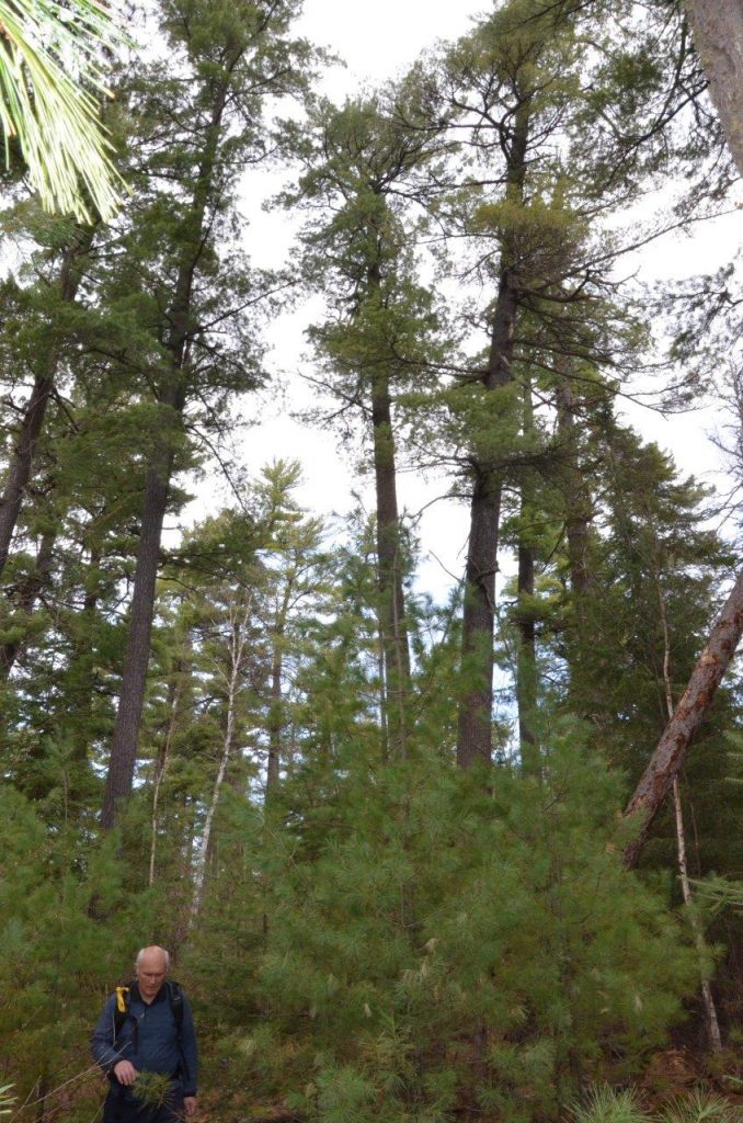
Rare white pine regeneration (Lada Malek for scale). Photo by Gerry Racey 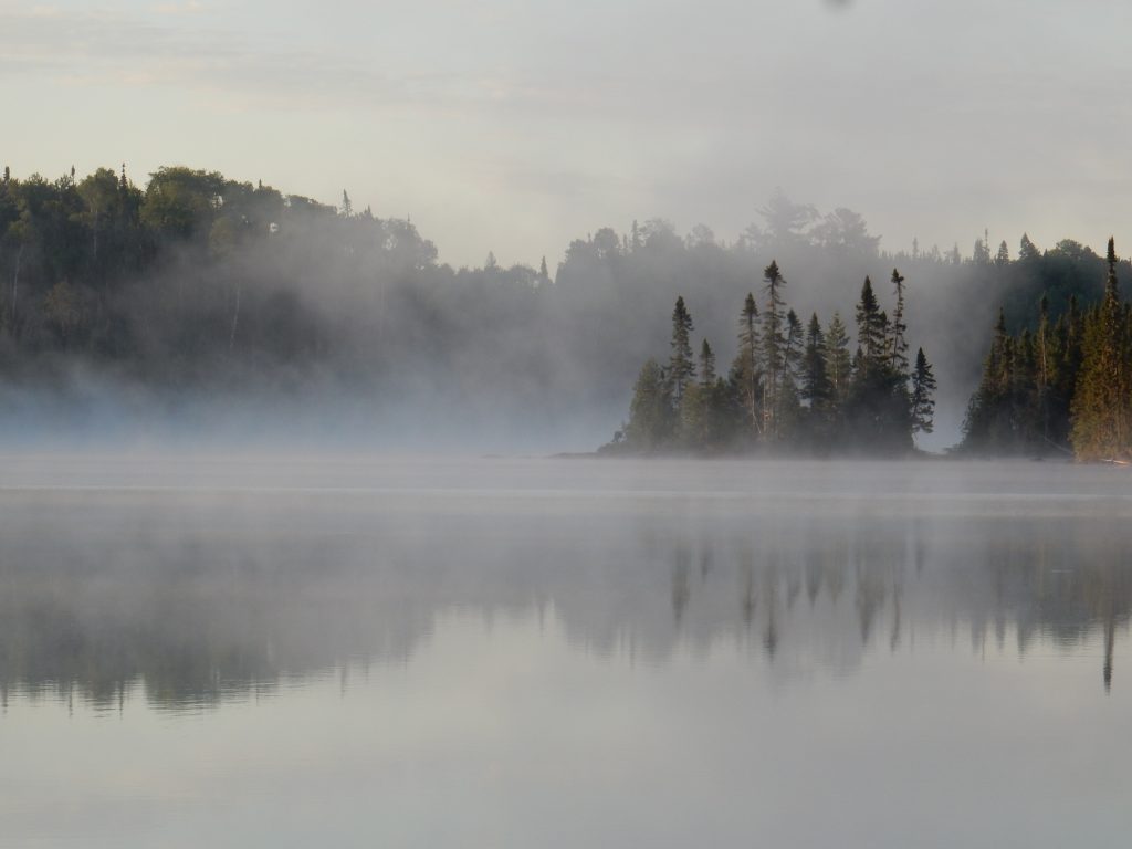
Early morning on Greenwood Lake 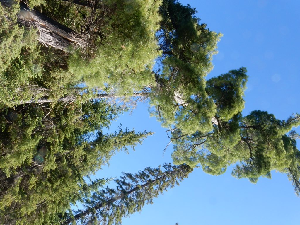
White pine giant – lakeshore 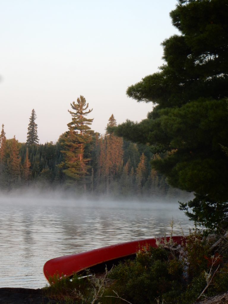
Morning sun at the lake
September 29, 2018 – Commemorative event for Dr. Willard Carmean: A large group of Dr. Carmean’s friends and colleagues gathered to reminisce about this remarkable man and his efforts to establish Greenwood Lake Conservation Reserve. Three of his family members also participated: Margot Thraen, Kelli Carmean and Ryan Kelly. Tributes were also given by Bruce Stonehouse and Rik Aikman. Subsequently, hikes through the reserve were led by Gerry Racey and Lada Malek. Other participants were: David Legge, Janine Reynolds,Paul Holm, Carol Hrycyszyn, Peter Knutson, Bruce Childs, Marian Childs, Mike Childs, Alan Gilbert, Sharon Gilbert, Charlie Bryan, Sara Williamson, Mike Carter, Tony Carfagnini, Jim Bishop, Doug Reid, Karen Sandy Lucas & Mason Feye, Carol Stonehouse, Nancy Serediak, Mark Serediak, Peter Wiltsey, and Leonard Hutchison.
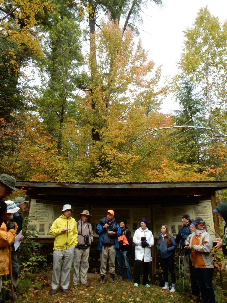
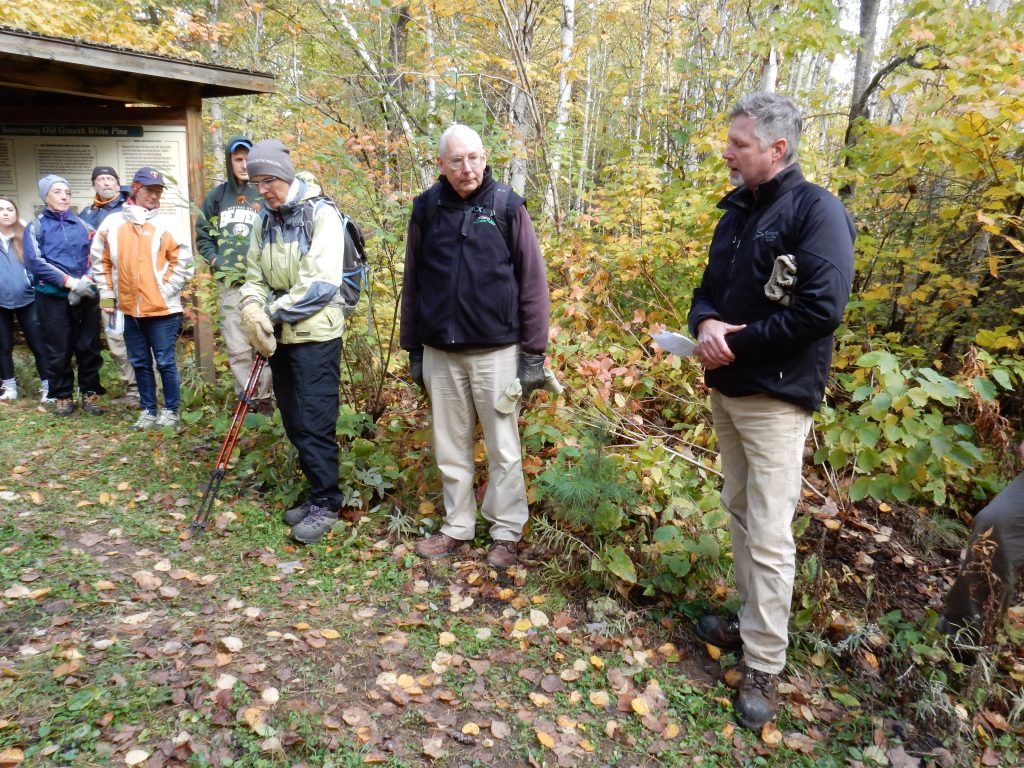
.
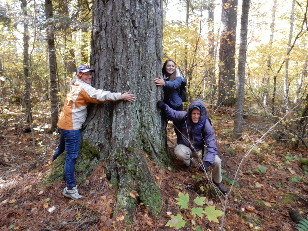
July 11, 2019 – Search for golden saxifrage (Chrysosplenium tetrandrum) Present -Dan Paju, Sazia Barodawala, Myles Cummins, Lada Malek
Claude Garton deposited a specimen (LKHD64484) of this Arctic plant in June 1981. The location description is nebulous to say the least, and the Sag road has undergone a number of improvements over the years. The four of us searched along the road up to about 1km E of the Eastern reserve boundary with no success. There are no “run off” streams in this stretch of dry road along former air field (in places bordered by beaver ponds which may have flooded the original site). We challenge future visitors to find this plant, which does not seem to belong in this old growth forest environment!
Garton’s locality description: “In mossy humus and clay along small clear run-off stream as it leaves the stand and falls down roadside bank. One patch only here. Sagnagons (sic.) L. Access Rd. of Great Lakes Forest Products limits at White Pine Reserve, 500 m E. of Greenwood L.”
Yellow trail status 2019 (see the 2020 update above): Subsequently, we walked (crawled?) the yellow trail, which is overgrown and missing many of the original markers. Our botanical expedition turned out to be a route finding exercise, with occasional stumbling on interesting flora. We discourage any visitors from attempting this trail unless prepared for route finding and climbing over deadfall. Trail improvements will proceed as volunteers become available – at a minimum some of the encroaching shrubs will be cleared and additional markers placed. Chainsaw work may proceed in the future. The trail W outlet onto Sag road is NOT marked and it may be even more difficult to find route in this “opposite” direction.
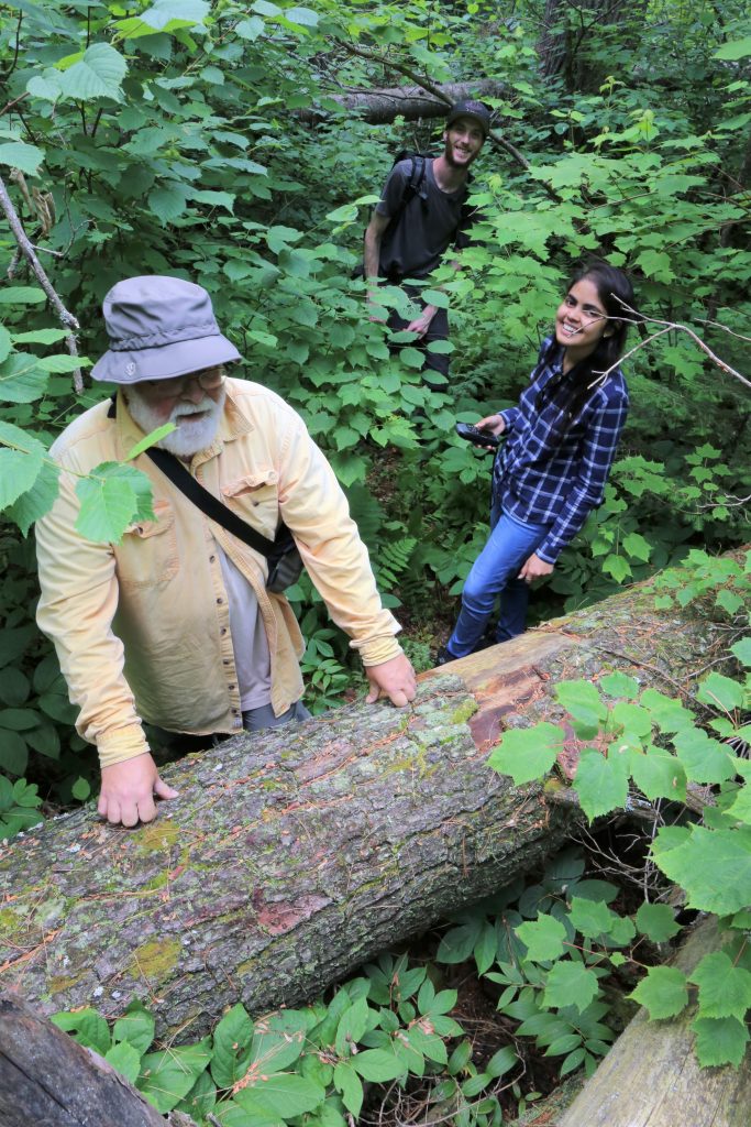
August 2019, Preparation for tree survey in the core of the reserve, planned for September 2019.
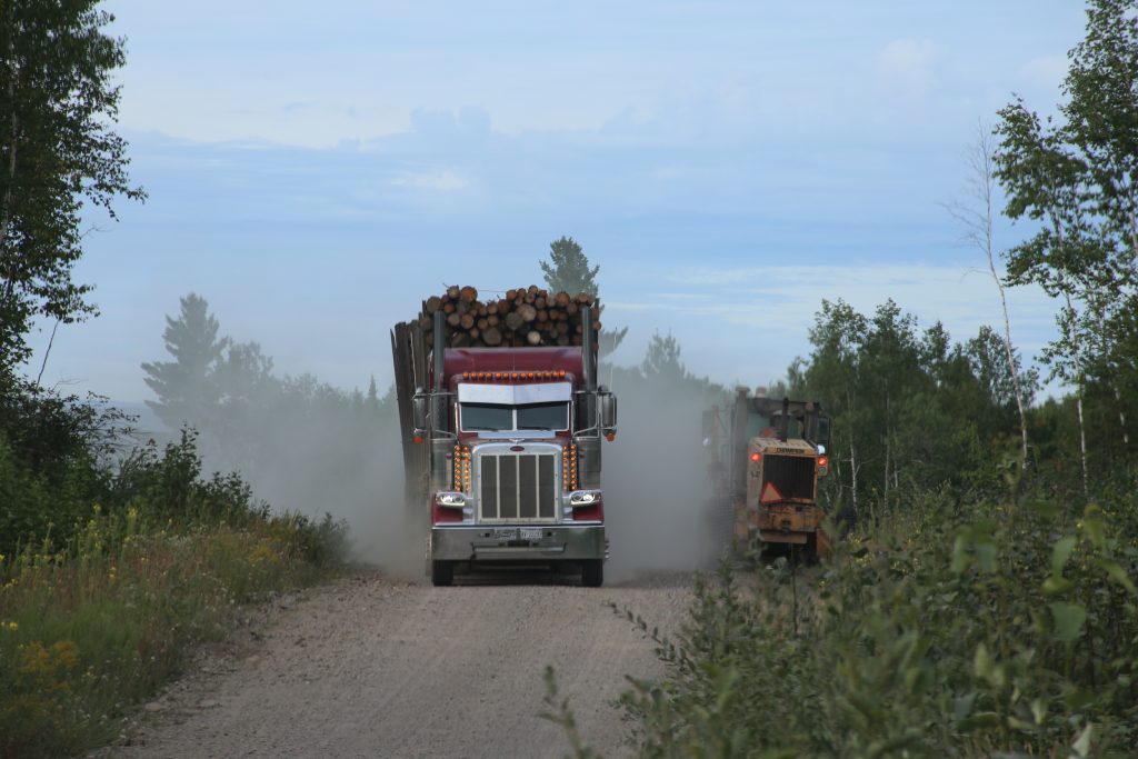
MECP crew led by Laura visited and cleared some parts of orange, yellow and blue trails. With the help of Tomislav Sapic and Derek Papineau, two visits were made and two permanent sample plots established for Forest Resource Inventory were identified within the reserve. One is in the vicinity of the yellow trail and the second is right on the orange trail in the 1991 burn area. These sites were evaluated in some detail by Co-op program in 2004 and 2009 and will be examined again this September 2019. Protocols for more detailed sampling over a larger area were are being developed and tested by Derek Papineau. One planned test plot near Sag Road was measured in preparation for the September event. New observations made at the reserve are being added to iNaturalist.
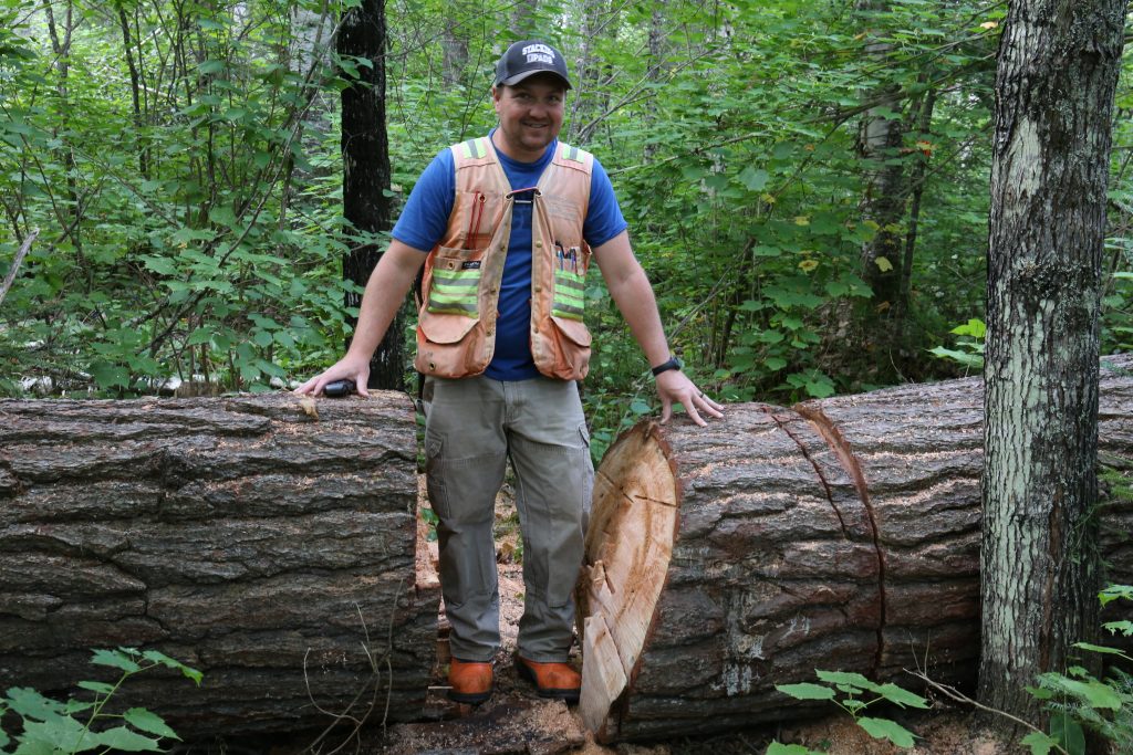
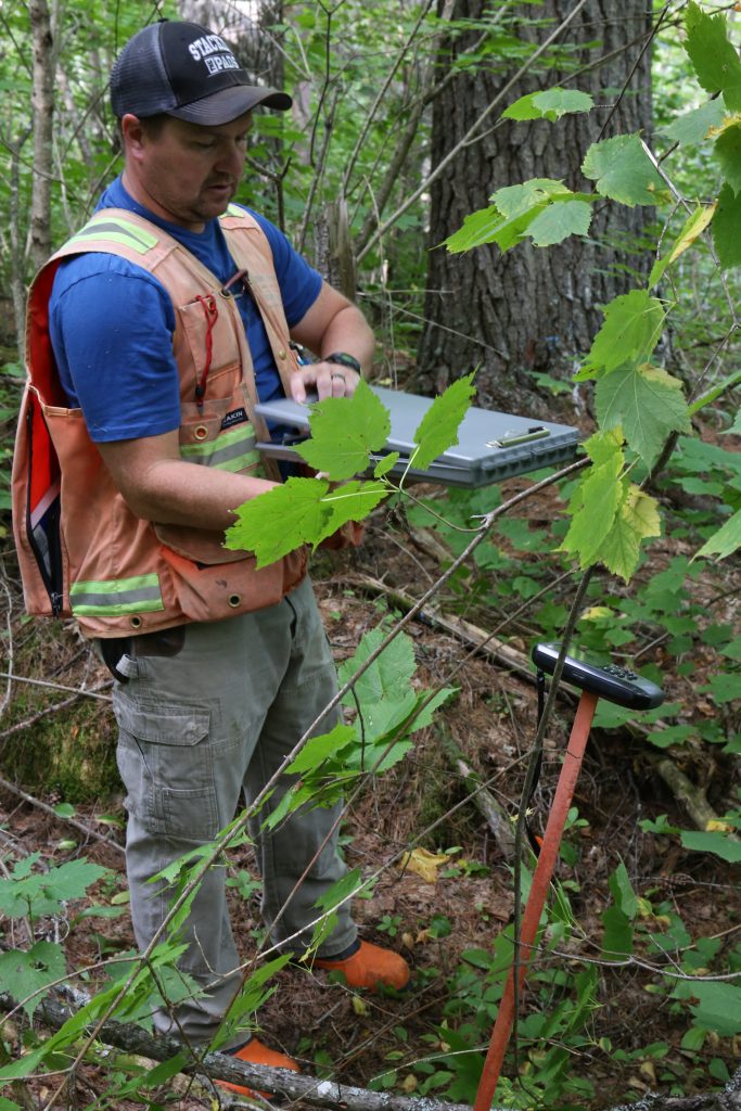
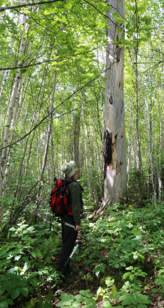
September 1, 2019, Yellow trail maintenance with Mark Serediak. Starting from the West end of the yellow trail, we cleared about 2km and made the exit/entrance from the main road more obvious. The original signpost is now clearly visible. The “top” 0.5km of the yellow loop still needs to be cleared – lots of hazel and mountain maple in spots. There may be some confusing flagging tape along the wetland, the original trail followed the crest of the slope to avoid wet spots.
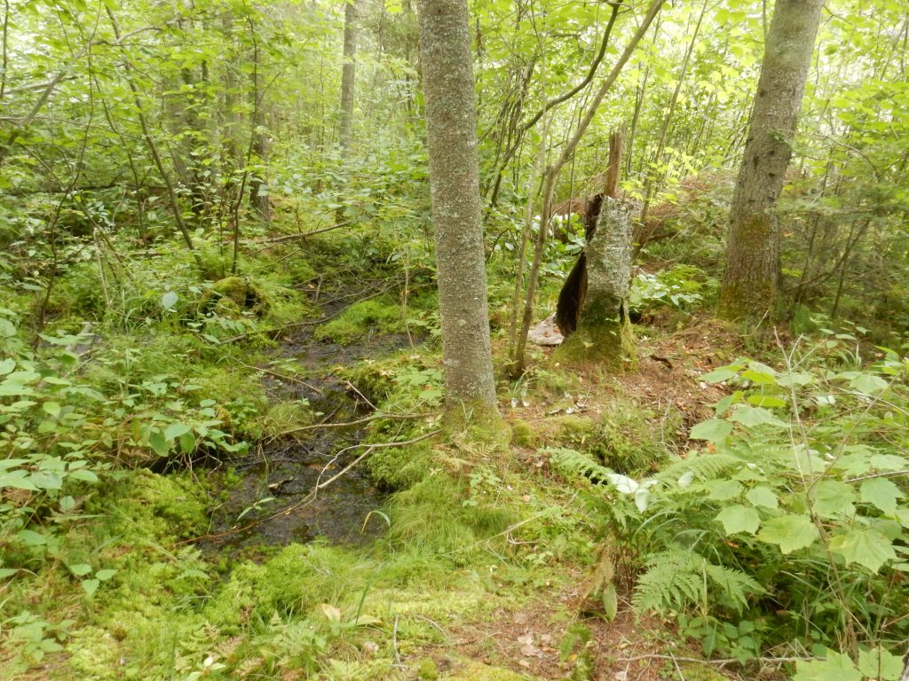
September 21 and 22, 2019. Research event – is there white pine regeneration? Organized by Derek Papineau, a number of two-member teams (see photo for participants) surveyed plots in the upland sections of the reserve dominated by mature white pines. Results are being compiled and will be posted here later. We hope these will serve as a baseline for continued monitoring of white pine regeneration. White pine re-growth is not likely in the absence of fire and relatively un-shaded conditions (no competition from deciduous trees).

Report on the status of the old growth white pine can be found by clicking the link below. The main finding is that re-growth of new white pine sapling is poor, and the character of the reserve will change with time, as the ancient pines die out. Plans to expand the research to additional areas (“polygons”) were interrupted by the Covid-19 pandemic. We hope to continue with the project in 2021.
September 26, 2020 (year of the Covid-19) A small group gathered to work on the Blue trail (Derek Papineau and son Hudson) and on cleaning the deadfall around the kiosk and minor shrub clearing on the Orange trail (Kevin Tran and his sister Carol, Lada Malek).
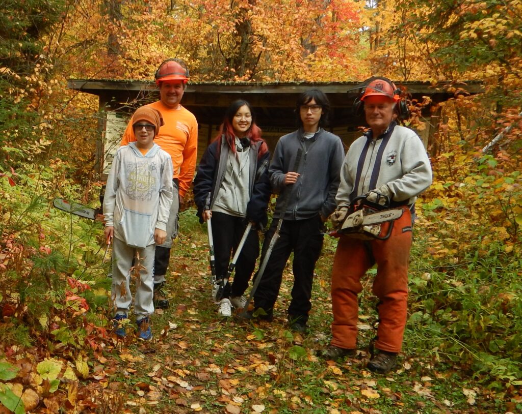
The three main trails – blue, yellow and orange are now in good shape and marked with old markers and flagging tape. Note that the return (East portion of the blue trail) and definitely the red trails are not being cleared. As soon as approved by AllTrails app administrators, the trail coordinates and information will be available on this application.
September 25, 2021 (another season of Covid-19 restrictions) Trail clearing and inspection visit. Orange trail and yellow trail in good shape, blue trail was not checked. No progress on white pine regeneration project.
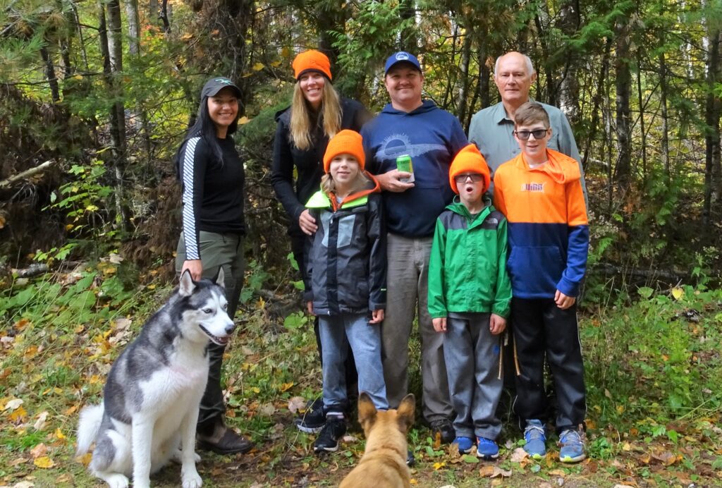
back row Riley Goshgarian with Husky Tuke,,
Kristin and Derek Papineau, Lada Malek. Peering in at the very front Cinder.
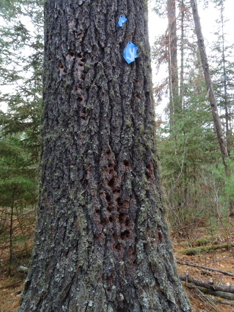
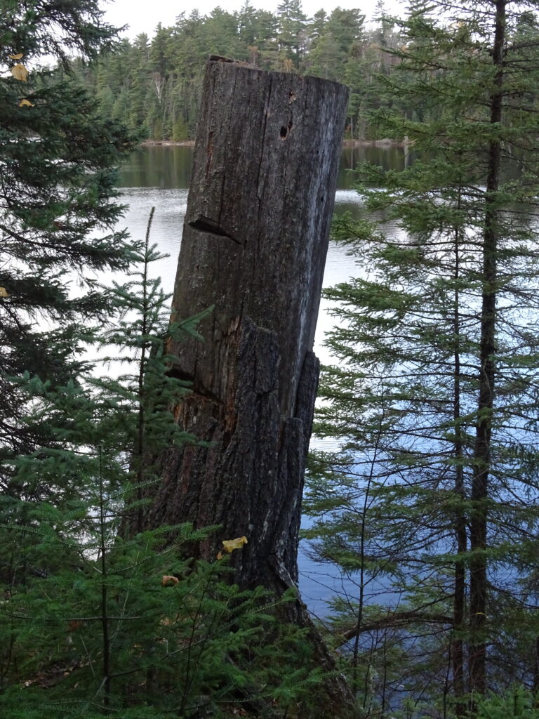
On October 23rd 2021 I walked the blue trail in its entirety, as it existed on the old maps, and as it was flagged by the 2018 crew. Since the foliage was already on the ground, the deteriorating markers and flagging tape were still mostly discernible. This task will be much more difficult with leaves in the low canopy by next Summer. Clear path needs to be brushed out, particularly in the North-South stretch at the Easternmost section of the blue loop, along and above the wetland which we still need to explore. Despite being present on all of the above mentioned “expeditions”, I still had to search for the “trail” and definitely forgot about the seemingly endless (but beautiful) stretch along Greenwood Lake. I again missed the turn back South toward the road and ended up crossing a small creek entering the lake and ran into a RED trail marker, telling me I missed the turn. I was going in the “opposite” counterclockwise direction. The trail marking will definitely have to be improved here, but most visitors will likely just go “clockwise” directly to the lake and back the same way (leaving themselves some “crumbs” to find the trail back?). The loop will be worth opening up, especially for the more energetic explorers.
I did not see any large wildlife, but there was evidence of pileated woodpecker activity, a few smaller woodpeckers were seen, and a number of love sick ruffed grouse. I camped outside the reserve and heard great horned owl calling most of the night. The big dying trees provide good nesting burrows. I heard a few gun shots, but hunting seems to be taking place outside the reserve. A video of my trip is on YouTube.
To be continued……
To be continued…….
To be continued………
To be continued………..
